ETL 1110-2-367
31 Mar 95
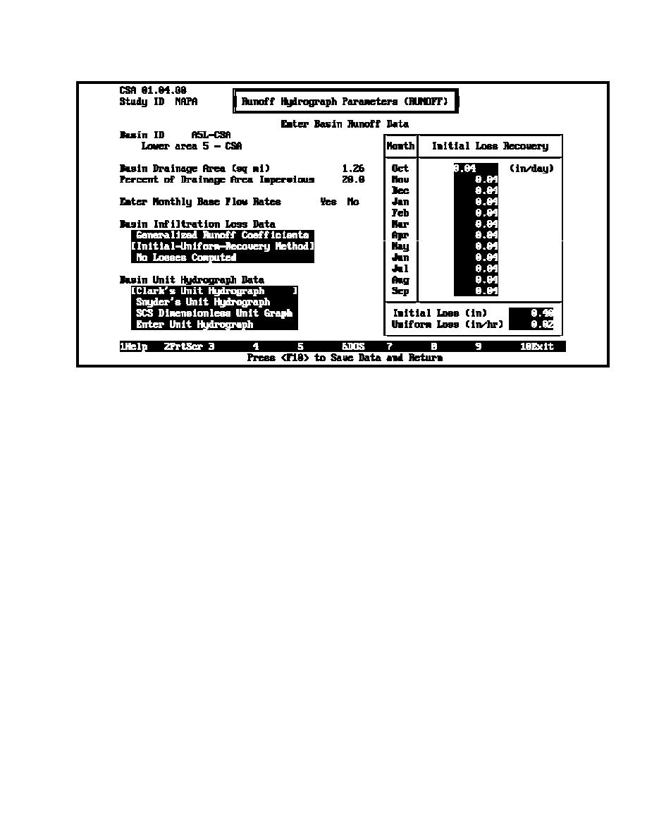
Figure D-7. Runoff parameters - Interior Area 5, lower subbasin, CSA
e.
Interior ponding area. Elevation-area relationships
were derived by calibration with the computed SPF hydrograph,
the estimated peak discharge of the February 1986 flood event,
were delineated for each ponding area adjacent to the line-of-
and the project design discharge-frequency curve for Napa
protection at the flow concentration points. Relationships were
River below Tulucay Creek. Computed exterior runoff
taken from elevation-area tables generated from computerized
hydrographs were used with Napa River rating curves to
topographic data of the project area. Elevation-area data were
determine continuous exterior stage hydrographs during CSA.
entered into HEC-IFH, which automatically generates the
The rating curves were defined at the outlet locations based on
storage values from end-area approximations. The minimum
project channel water surface profiles provided by the district.
value was established from the lowest invert elevation to be
Rating curves were slightly adjusted so that the peak flow of
analyzed for Interior Area 5. The maximum value was
each hypothetical flood hydrograph matched the water surface
established from the highest stage anticipated in the analysis,
elevation from the water surface profiles for the corresponding
which in this case is the top of the levee embankment at the line-
event. Figure D-9 shows some runoff parameters for the
of-protection. A portion of the pond elevation-area-storage
exterior basin.
relationship for Interior Area 5, as implemented in HEC-IFH, is
shown in Figure D-8.
(2)(a) Hypothetical storm analysis was conducted using
f.
Exterior stage data. Exterior stage hydrographs were
general rain 96-hr local storms centered over the interior for
unblocked, low Napa River conditions. For hypothetical interior
required to establish the exterior conditions for both CSA and
and exterior analysis the general rain 96-hr hypothetical storms
HEA methods.
were centered over both the interior area and the Napa River
basin.
(1)
Exterior stage data for period-of-record CSA
include continuous stage hydrographs that represent the historic
(b)
Hypothetical storm flood hydrographs at the outlet
patterns of Napa River discharge at the outlet locations of each
locations of each interior area were developed from HEC-1
interior area. A continuous discharge hydrograph was
data sets provided by the district. The data used consists of an
developed for the exterior from rainfall-runoff analysis.
S-curve unit hydrograph rainfall-runoff model upstream of the
Historical rainfall records of nearby recording and nonrecording
Oak Knoll stream gauge and a kinematic wave model
rain gauges were used with the PRECIP program to develop a
downstream to Imola Avenue in Napa. The hydrographs were
continuous, period-of-record, composite rainfall record for the
determined by taking ratios of the SPF. These HEC-1 rainfall-
Napa River basin. Runoff parameters for the exterior basin
D-7


 Previous Page
